
Cookham Floods (with pictures) – 11 January 2014
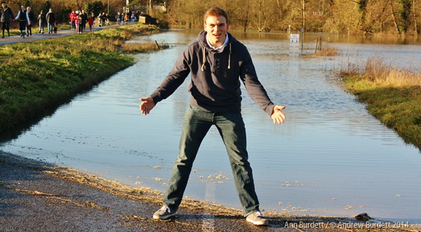
“It’s a family expedition”, jokes one mum in her early-thirties, hair tied back and sunglasses resting on her forehead. Her two welly-wearing children, aged three and five, are slowly growing impatient, as they wait for “mummy” to finish her latté – and inter-maternal natter – so that they can go down and paddle in the floods. Yes, the village coffee shop in Cookham: abuzz with talk of the submerged Moor.
In one sense, it’s funny that a bit of water can cause such keen interest – after all, it’s not the first time that this stretch of the B4447 has been closed due to complete immersion. At the back of Costa, I overhear a couple (surely in their mid-70s) debating “the last time it was this bad”. The husband is convinced that 2003’s flood was worse; his wife stubbornly insists that she hasn’t seen water as high “for thirty years at least”. Their friendly row continues, neither spouse willing to back-down.
Down the hill, and one wonders why they care. However it compares to past decades, it’s still a sight to behold. On this first Saturday back in the post-holiday routine, the relief road – known locally as the Causeway – is swarming with children, parents, and dogs. Every so often, a minibus ferries otherwise immobile folk in and out of Cookham, but, other than that, the road is closed to vehicles.
What this all means is that hundreds of people are able to stand, slightly elevated on this lone dry ribbon of tarmac, and look out over the deluge all around.
Whatever age you are, there’s nothing more curious than a speed-limit signpost, only its top still dry. The white painted road-markings, which dive down beneath the water-line, are the subject of many a photograph. For me, though, it’s the impossible image of all of this water, somehow made possible by a complex combination of currents and clouds.
Such power. Such magnitude. Such beauty.
Cookham Floods: In Pictures
-
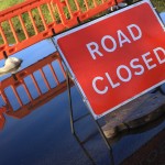
- Temporary signs and fencing prevented cars from driving down the flooded lower road.
-
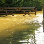
- This gate burst open with the deluge.
-
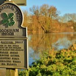
- The Moor at Cookham is temporarily out-of-bounds.
-
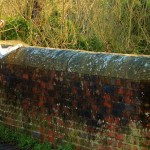
- This dog was keen to see what was going on, looking out at the water from the bridge.
-
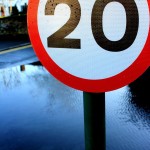
- This 20mph sign may now only apply to boats.
-
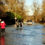
- The road from Cookham Bridge to Bourne End: only the bravest travelled by car.
-
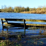
- Only those with wellington boots may wish to sit on this bench, due to the high water level.
-
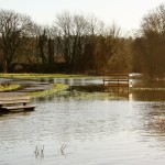
- The grounds at Odney are submerged in water.
-
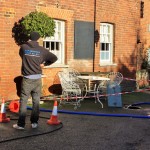
- An industrial plumbing company were called in to pump water out of this pub’s beer cellar.
-
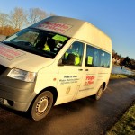
- Local charity People To Places ferried people across the dry, higher road.
-
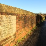
- This bridge was well-crossed as hundreds of residents – and Maidenhead ‘tourists’ came to inspect the water levels.
-
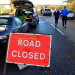
- The road may be closed to traffic, but that didn’t stop hundreds of people walking across the Causeway relief road.
-

- An aerial photograph of Cookham hit yesterday’s paper: seen here in the village supermarket.
Kayaking in Cookham Floods (video)
Don’t miss my full video of kayaking in the floods.
